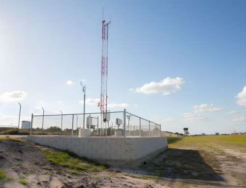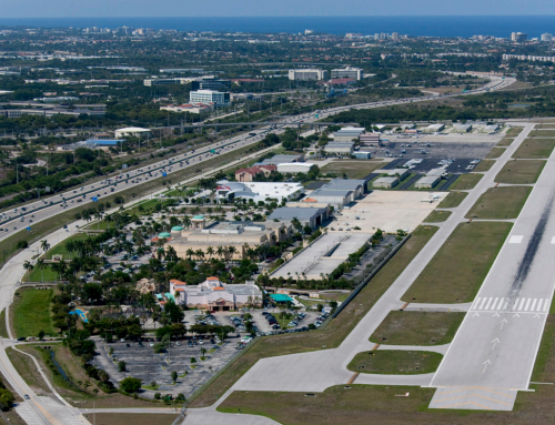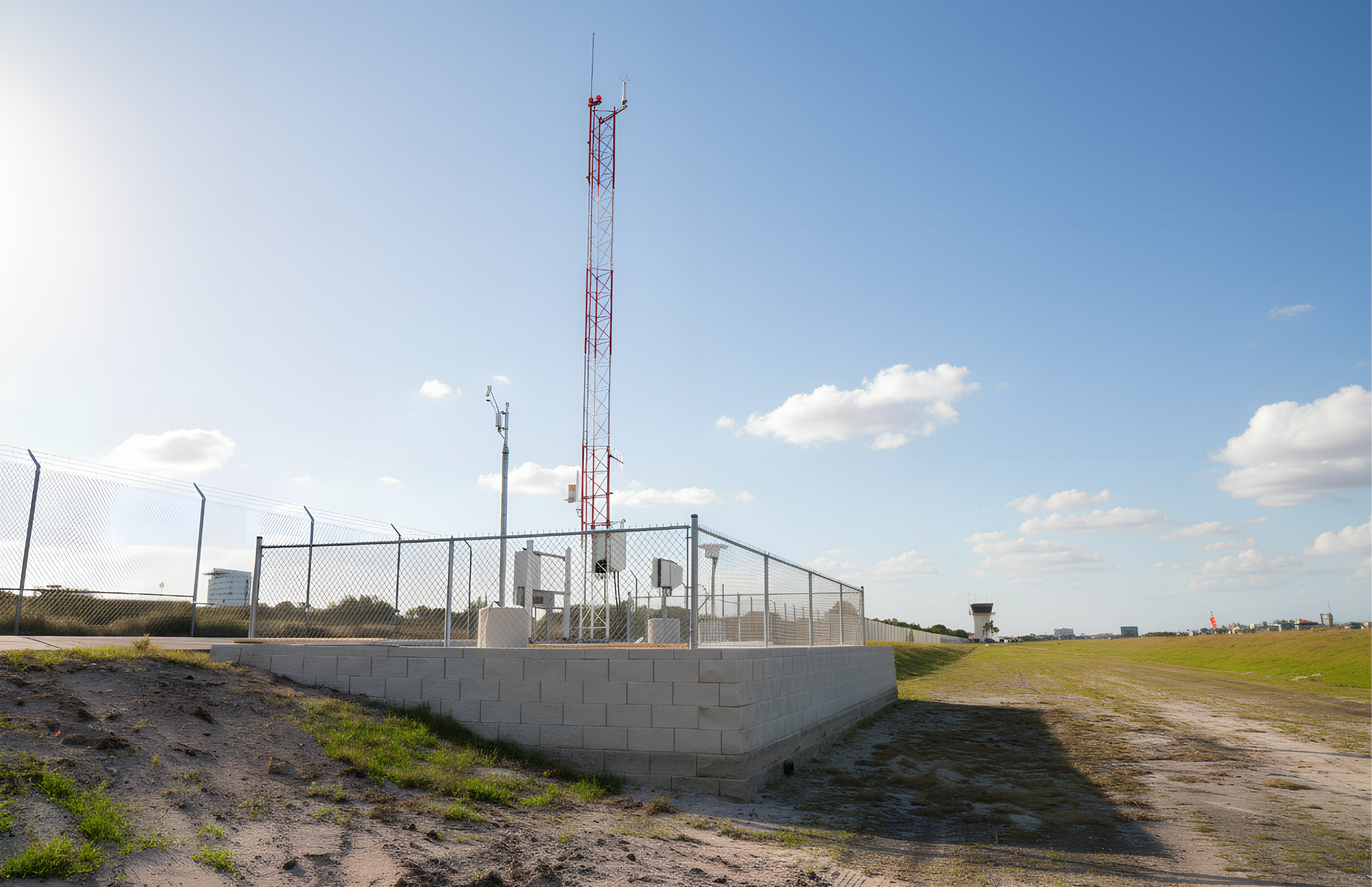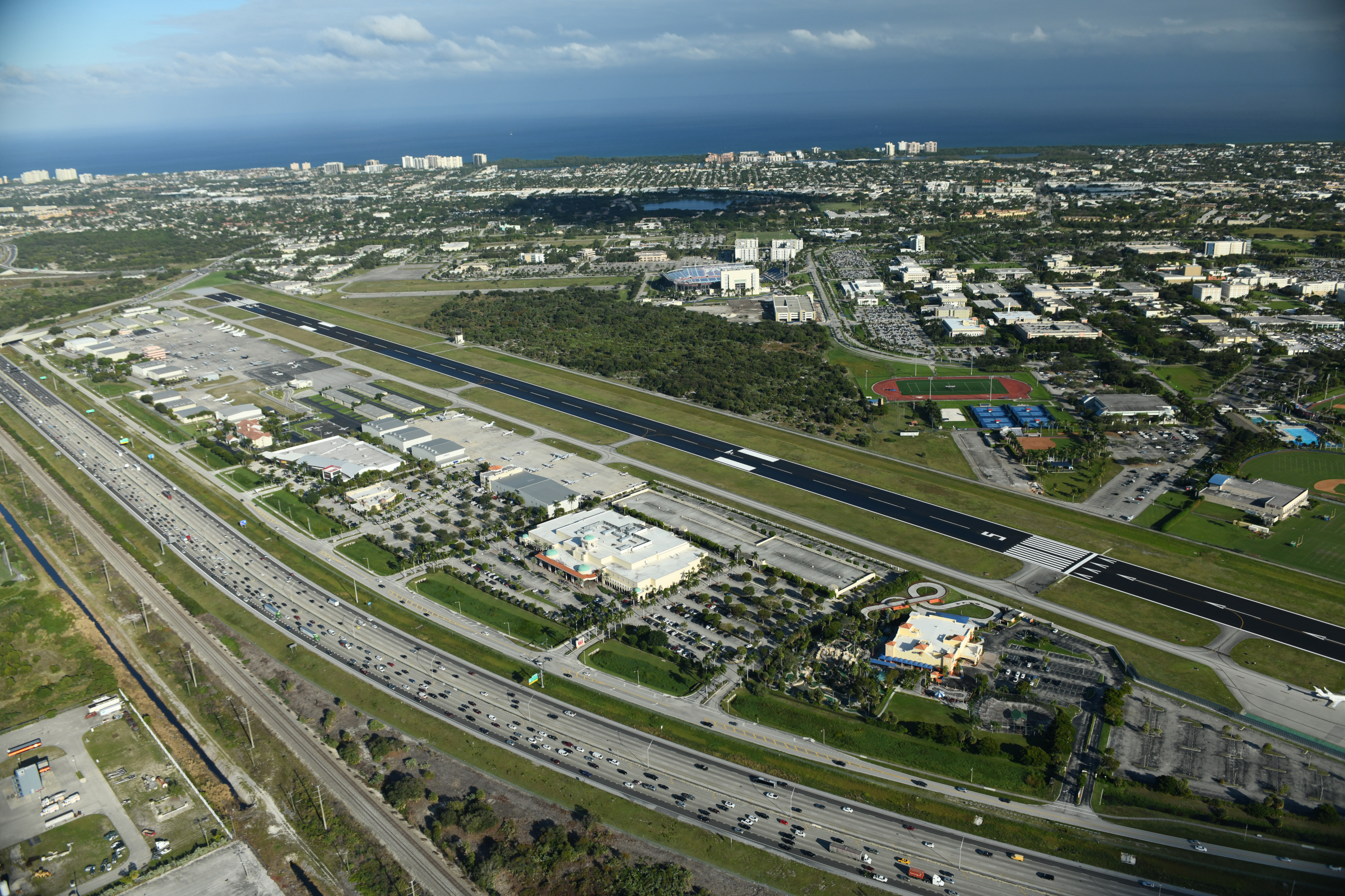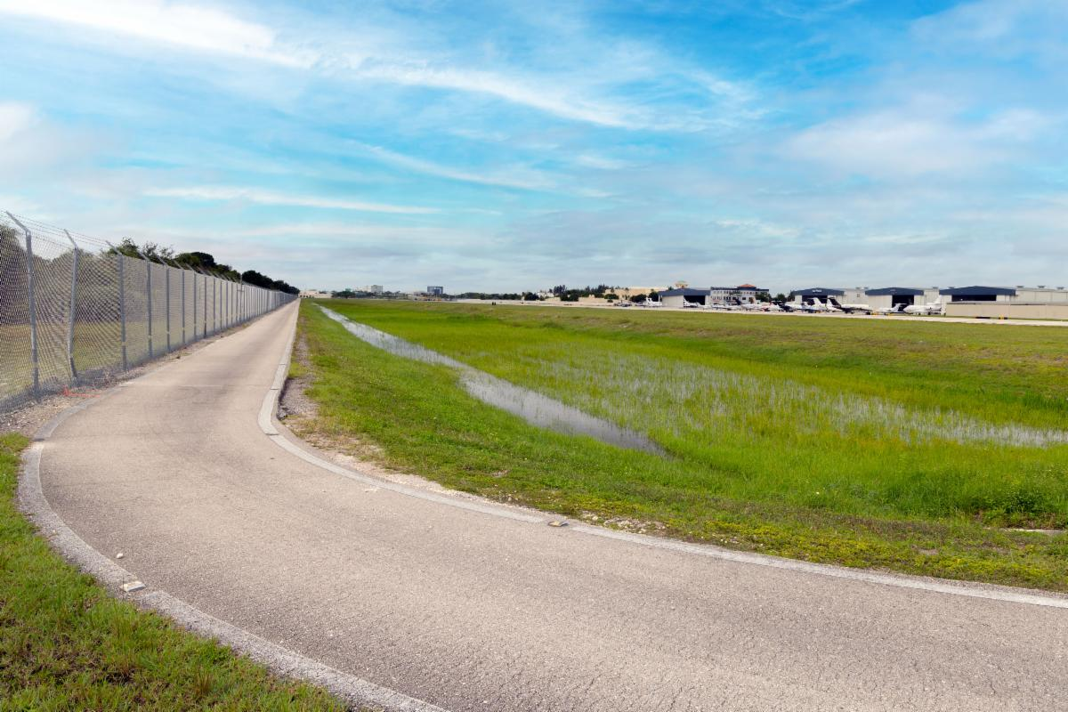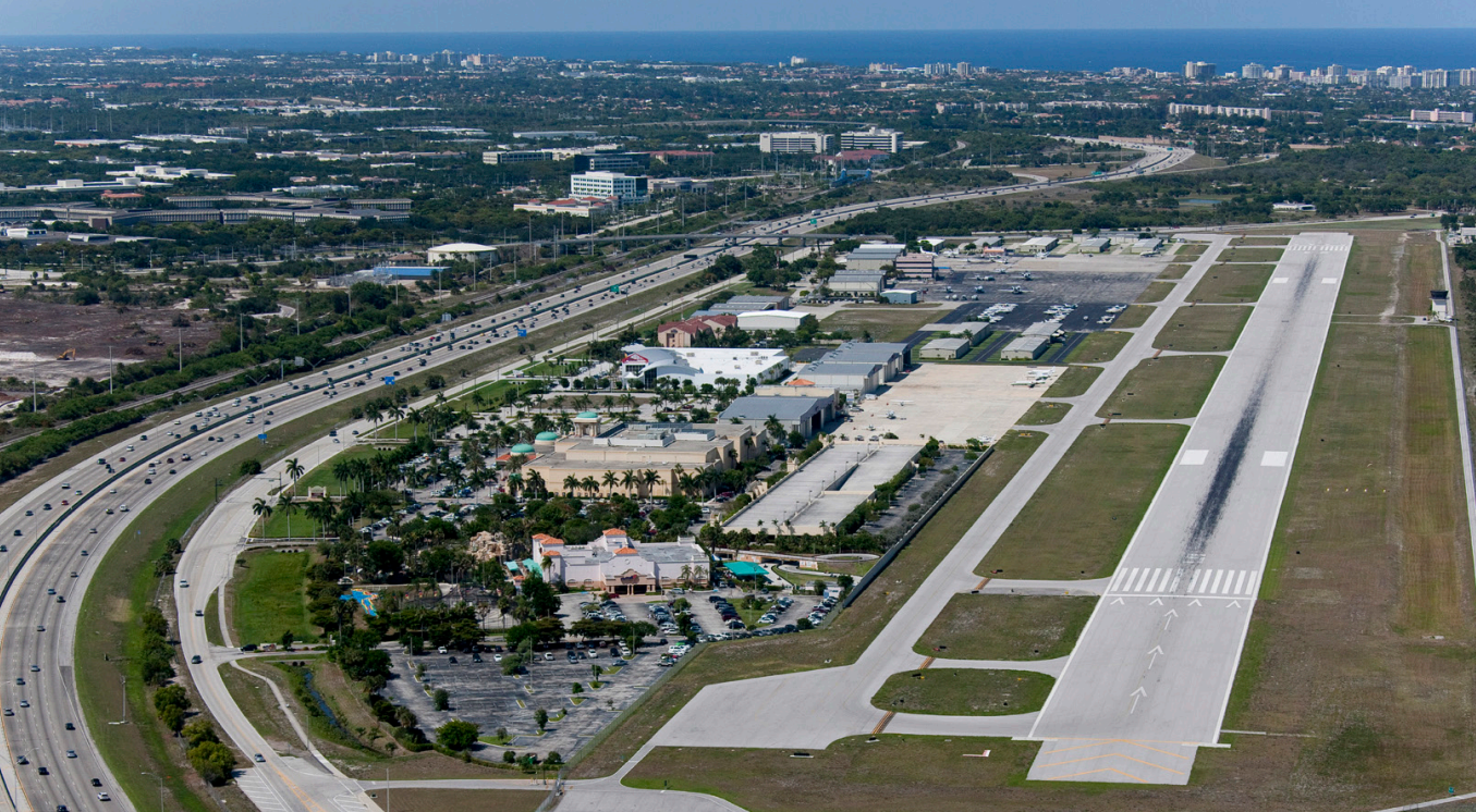

This project served as a follow-up phase to earlier Geographic Information System (GIS) projects that aimed to assist in the collection and maintenance of airport and aeronautical data for BCT. These initial phases of this multi-year project consisted of the collection of data and installation of required hardware and software. Once the datasets were added, the Airport Layout Plan (ALP) and other CAD drawings for utilities and floor plans were converted into a GIS format and added to the geodatabase. As changes were made to these documents, they were updated in the geodatabase, allowing the map application to always maintain the most up-to-date airport information.